
Introduction
(Picture: Lake of Menteith)
Introducing Loch Lomond & The Trossachs
Let’s start with the shaping of the Loch Lomond and Trossachs landscape and the creation of the magnificent landscapes we know and love today.

The last Ice Age that shaped the landscapes around Loch Lomond ended over 10,000 years ago – just a moment away in geological time! Cycles of warming and cooling stretch back into the distance past, but in the final advance of the now vanished Loch Lomond glacier it trundled down the loch basin, then spread out, south of Luss, into a fan shape. (Geologists call this a ‘piedmont lobe’). That last advance effectively dammed the loch when the ice melted, because the rocky material (moraine) that the glacier had carried south was dumped all around Balloch.Thanks to the ‘Loch Lomond Re-advance’ glacier, today’s Loch Lomond did not remain a fjord - as it had been in episodes in the past, like its neighbour Loch Long. Today, Loch Lomond is only 27ft / 8m above sea level.
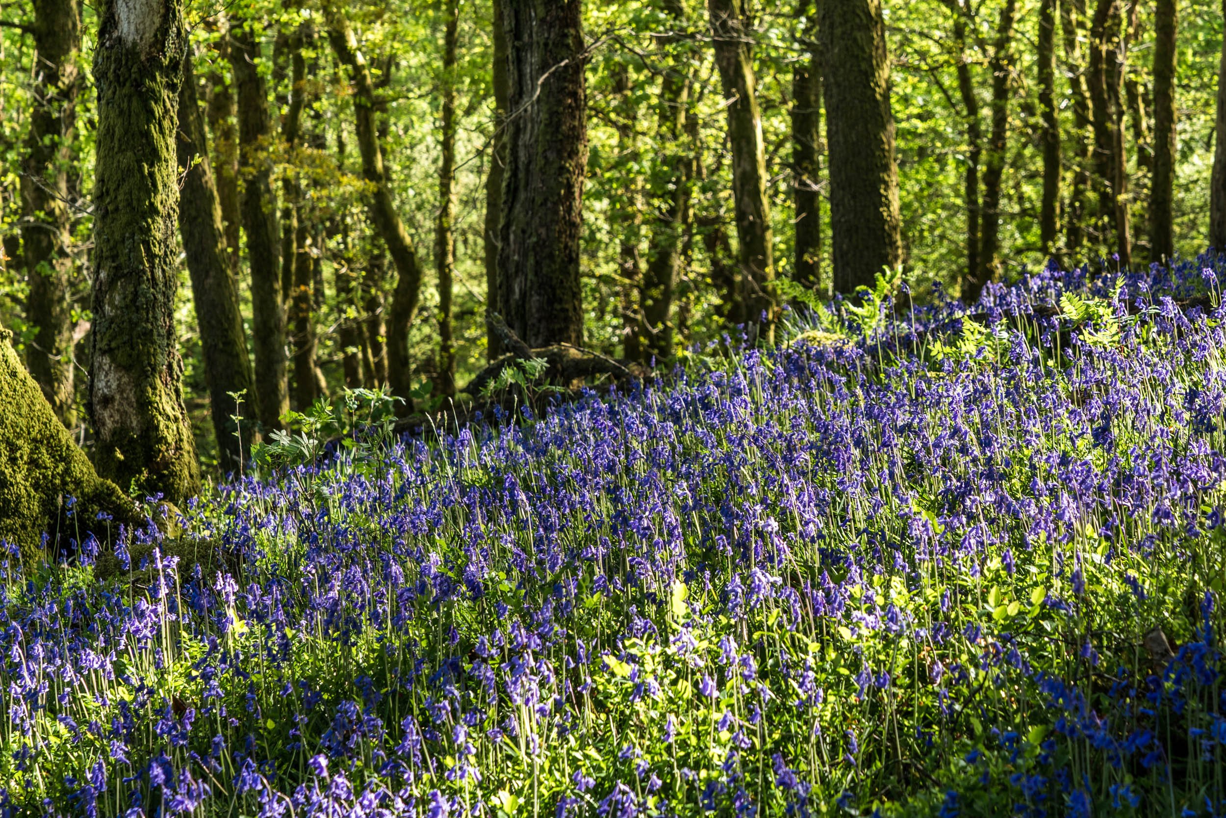
The shores of the Loch gradually went from tundra to forest, though not in a steady, linear way. Oak and hazel – typical of central Scotland - became dominant by Loch Lomond itself, say, around 5000 years ago, with birch towards the summits. Scots pine – more typical of the north - came in by way of Glen Falloch (still a place where old native pines can be found). However, the pinewood colonisation was checked by the dominant deciduous trees of the south and by a more recent cooling of the climate that resulted in a build-up of peat where rainfall was highest. To this day, walkers on the peaty moorlands around Loch Lomond and the Trossachs will come across the stumps of these ancient pines – the original denizens of at least some of the ‘bonnie banks’.
In essence, it was – and still is - this intermingling of Lowland and Highland characteristics that gave the Loch Lomond area its special ambience. And the same applies to The Trossachs. The Highland Boundary Fault runs north-eastwards through the Menteith Hills and Loch Venachar. Glacial action – the dumping of gravels and rocks scoured from the mountains beyond the Highland Line – gives the area around, for example, the Lake of Menteith, its characteristic rolling and hummocky appearance. The Lake itself is in fact ‘impounded’ behind the dumped material – what geologists call a ‘kame’ – and occupies a large ‘kettle-hole’ – the space left after the melting of a huge ice-block!
Similarly, in the west, a glance at the map of the National Park area reveals a radiating pattern to the lochs and glens – from Loch Katrine ‘pointing’ eastwards then via Loch Lomond, southwards, Loch Long, a little westwards and so on to Loch Fyne, beyond the Park boundary, pointing further west in its upper part. All these trenches were shaped by massive ice-sheets moving outwards and away from north of Breadalbane. Some water-bodies are land-locked today, like Loch Eck. Others, like Loch Long, have fjord-like features; but from the Lowland edge at the Lake of Menteith to the glens of Cowal, the same forces were at work to create the landscape we admire today.